
DronePlus
Aerial intelligence for work that is slow, costly or dangerous from the ground.
DronePlus gives businesses and institutions bespoke aerial work: spraying and spreading, deliveries, surveys, inspection, surveillance and bathymetry.
DronePlus
What DronePlus flies.
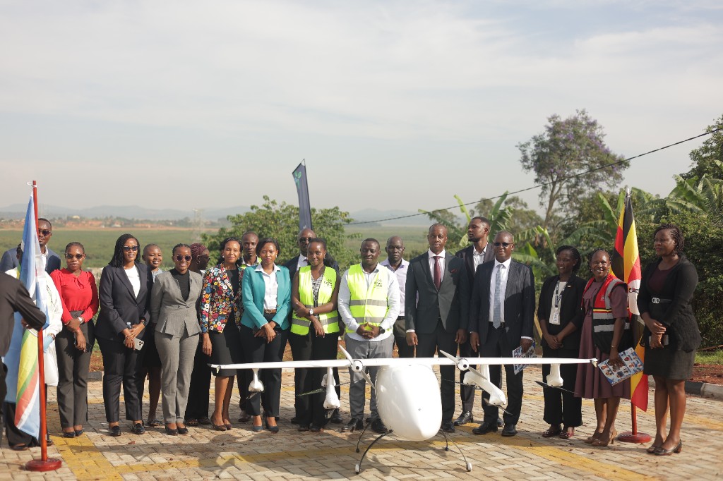
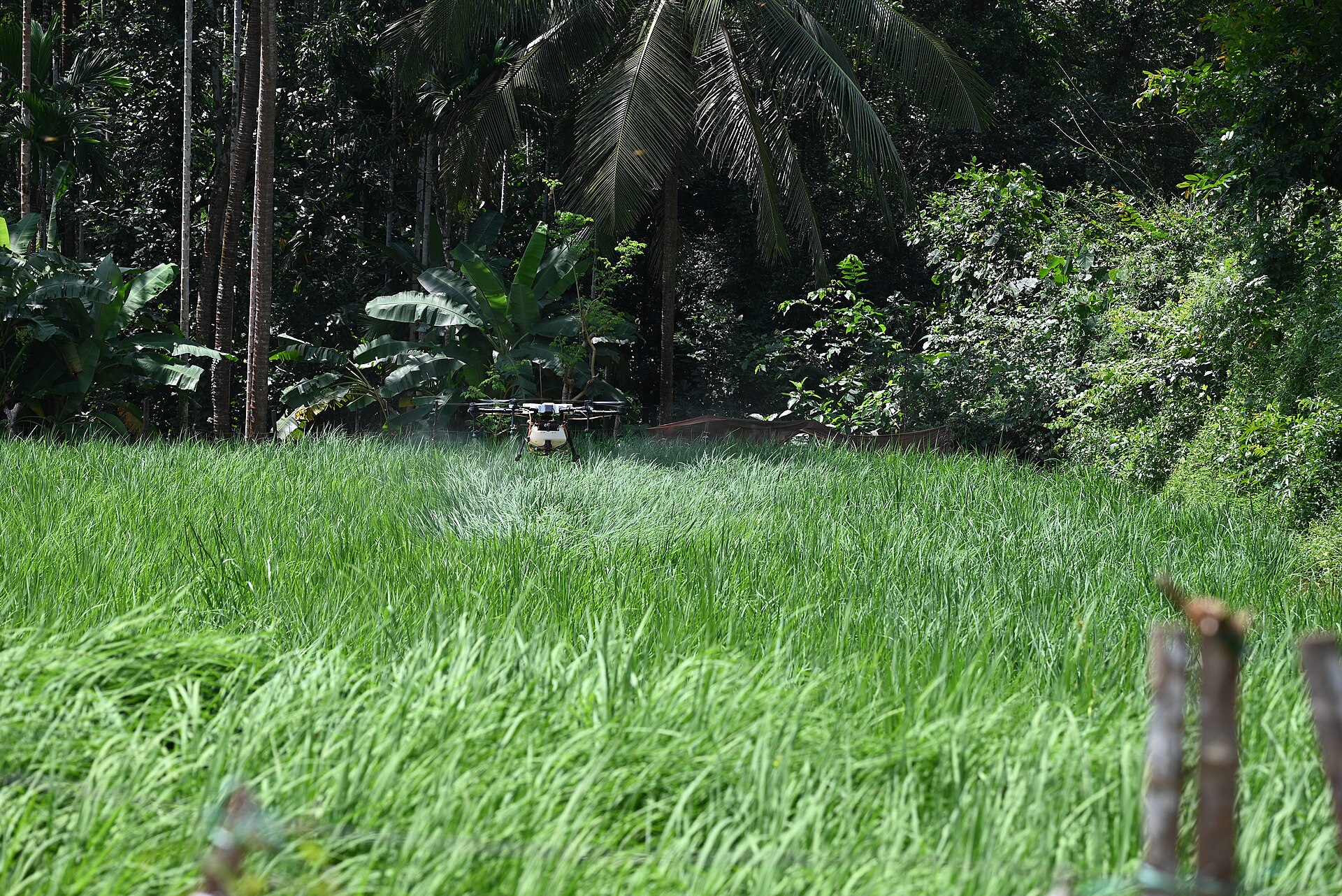
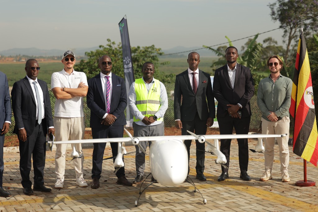
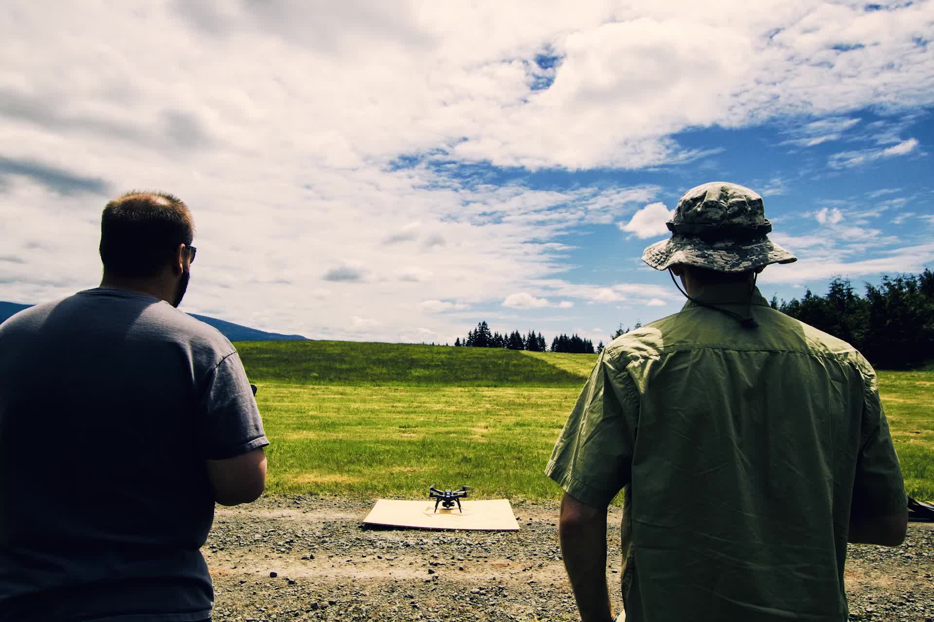
The launch photographs are from a Drone Plus event. The other frames show the class of work and are not Samanga operations.
- 01
Aerial Spraying & Spreading
Precision application for commercial farms, where treating a field from the air is faster than working it from the ground.
- 02
Commercial & Medical Deliveries
Delivery of supplies to places that are slow or difficult to reach by road, including medical payloads.
- 03
Topographic & Aerial Surveys
Aerial surveys for engineering, cadastral and construction work, where the ground survey would take longer.
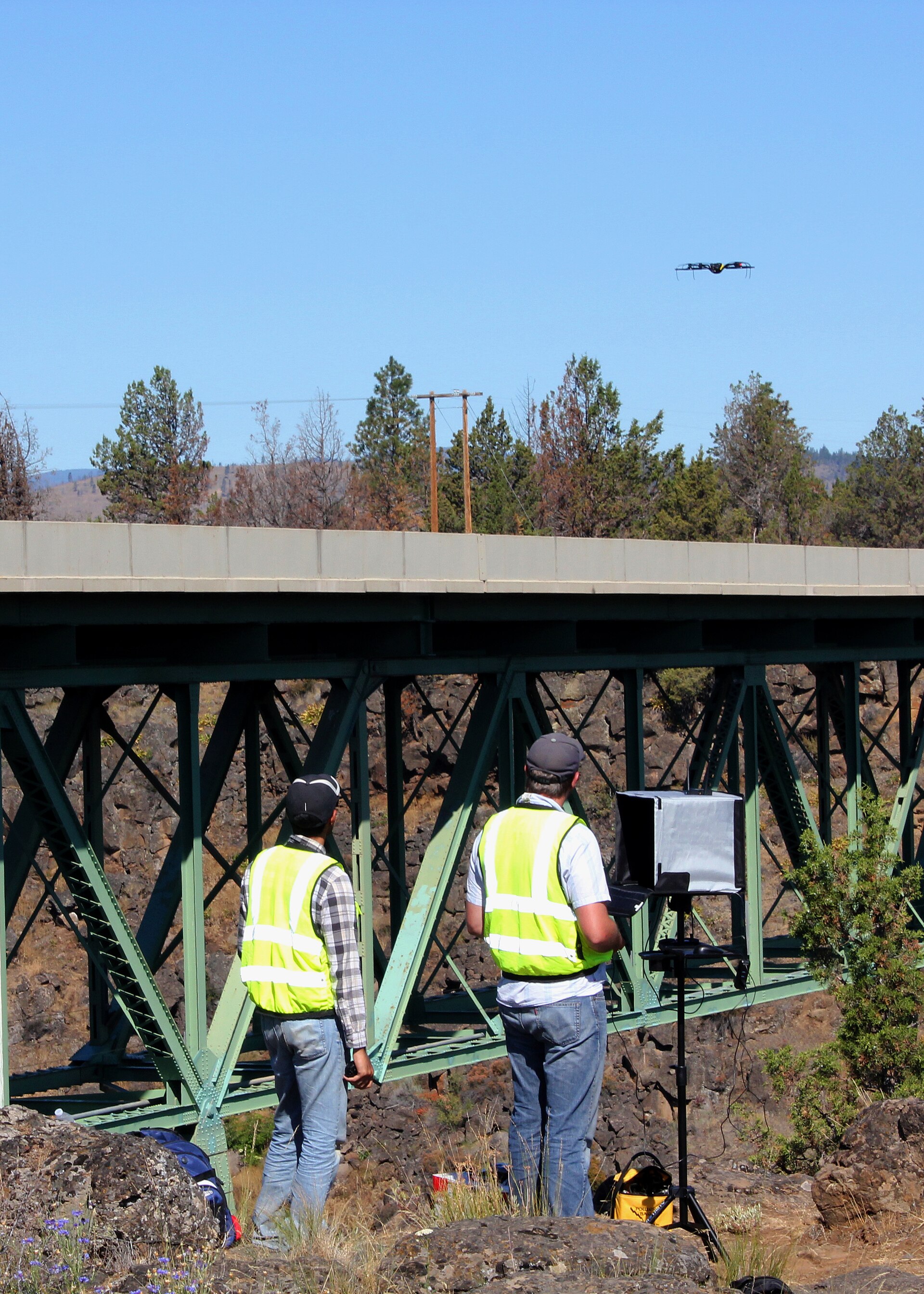
- 04
Asset Inspection & Monitoring
Inspection of solar farms, dams, bridges, power lines and other assets that are costly or hazardous to reach on foot.
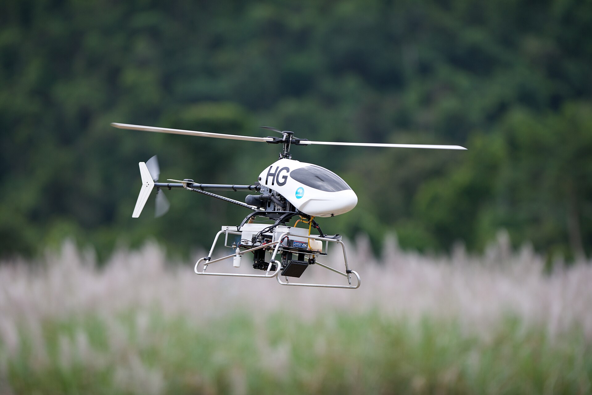
- 05
Surveillance, Search & Rescue
Aerial support for security and emergency operations, when a view from above shortens the search.
- 06
Bathymetry Surveys
Underwater mapping for engineering on water, where depth and the bed have to be known before work starts.
Where DronePlus is used
Health logistics
Engineering and construction
Energy and infrastructure
Security and rescue
Offshore and marine
Work with Samanga
Discuss an aerial requirement
Send the brief and it reaches the team that will scope the work.