Plot 12 Bukoto Street, Kamwokya
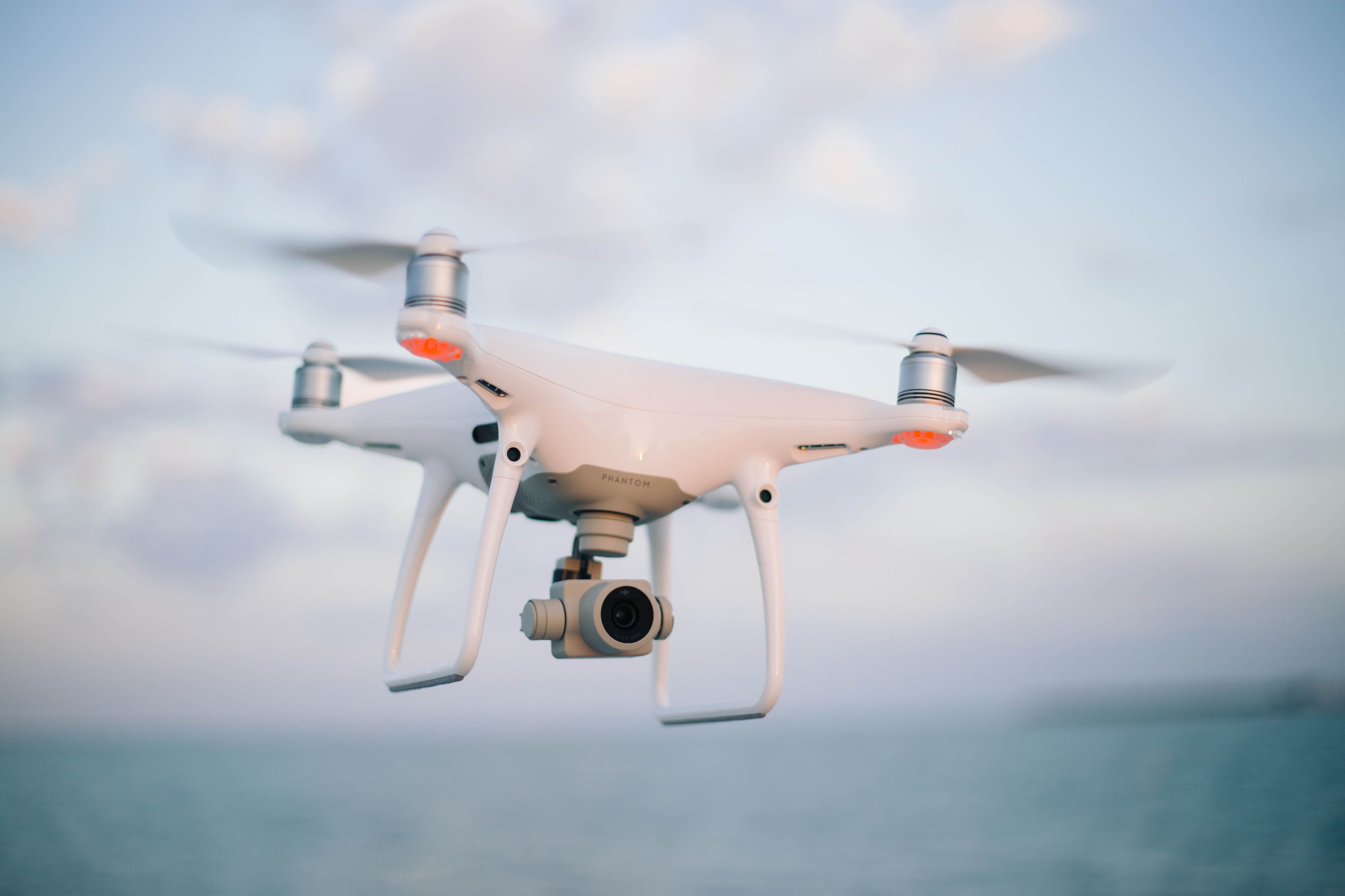
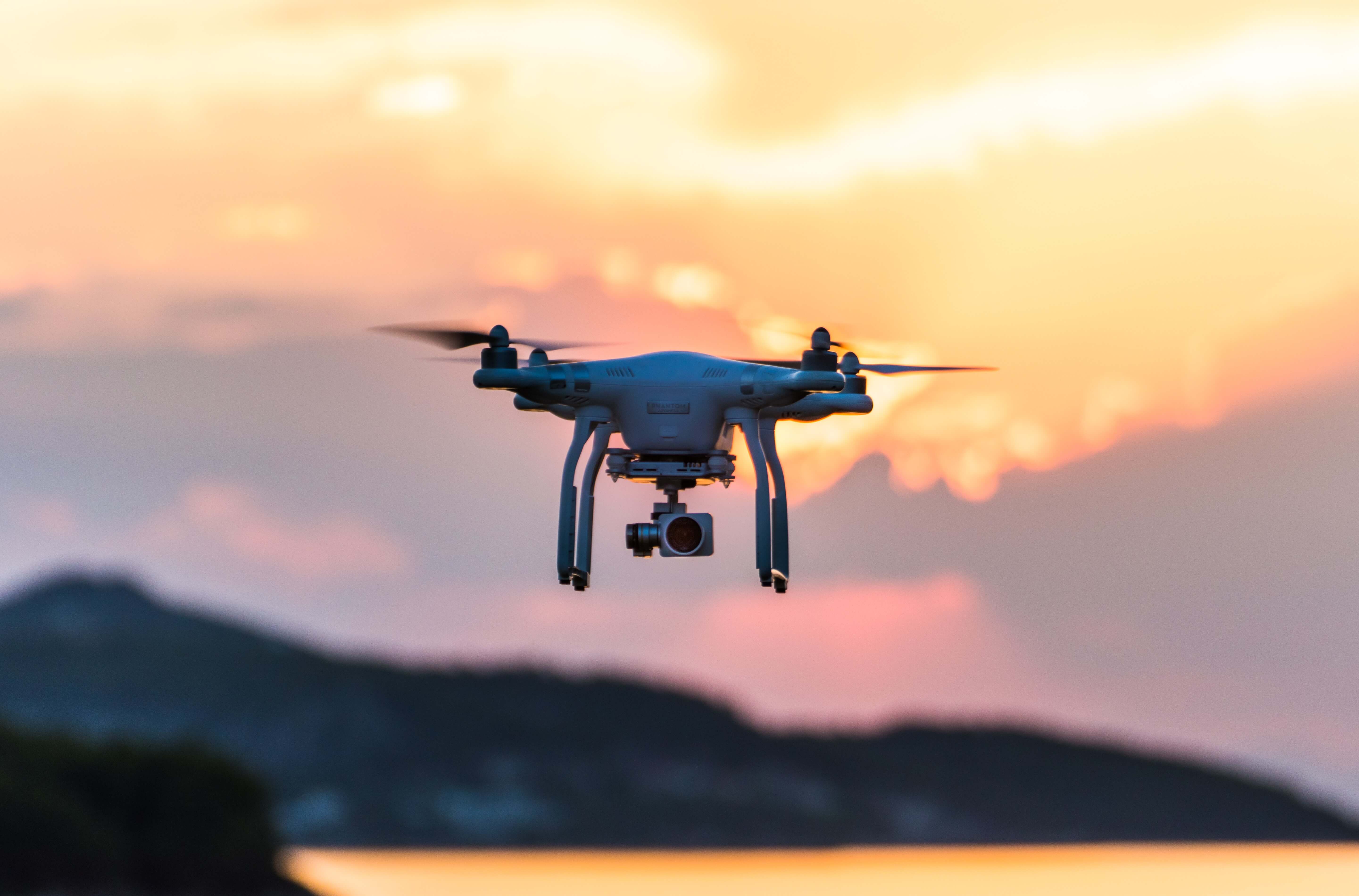
Drones(UAVs)
Unmanned Aerial Vehicle Services(UAVs)
We offer advanced UAV technology, including LIDAR and multispectral sensors, to capture high-resolution data for a variety of applications, such as urban planning and heavy A.I data processing.
We have created a strong customer base ranging from government agencies, private enterprises and the general consumer with a multinational team of versatile professionals in East Africa.
We have you covered
Our UAV services provide fast, accurate data collection for a variety of industries, including construction, agriculture, and environmental monitoring.
We use cutting-edge UAV technology to gather data for mapping, modeling, and analysis, helping clients make informed decisions and drive success.